How Orlen Upstream Norway streamlined ArcGIS–Petrel integration and saved weeks
A tight ArcGIS–Petrel integration delivers a stronger basis for interpretation, faster. Orlen Upstream Norway chose a product that keeps that connection reliable and consistent.
How Orlen Upstream Norway streamlined ArcGIS–Petrel integration and saved weeks
A tight ArcGIS–Petrel integration delivers a stronger basis for interpretation, faster. Orlen Upstream Norway chose a product that keeps that connection reliable and consistent.
The challenge
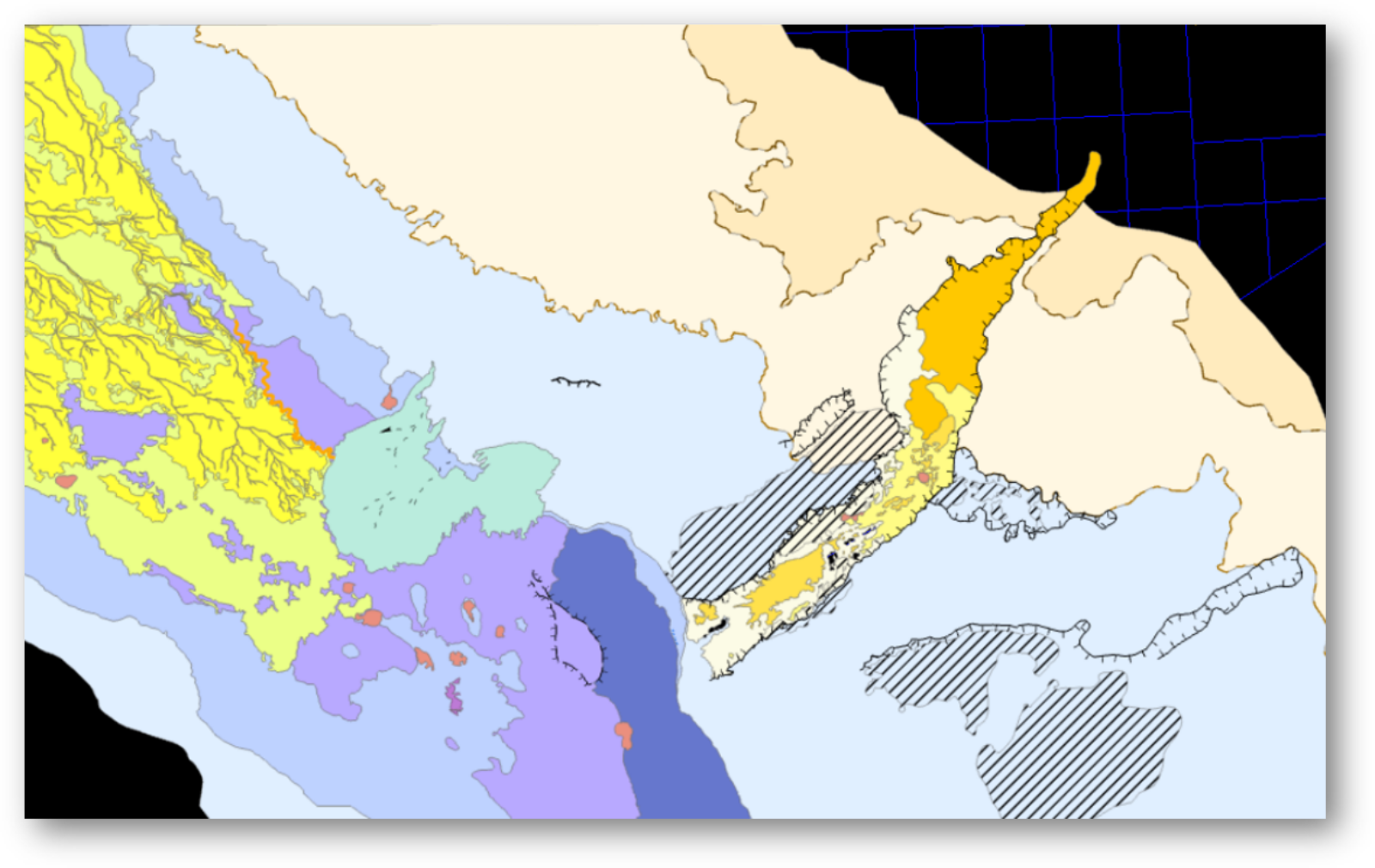
Working across the Norwegian Continental Shelf, Orlen Upstream Norway’s subsurface team faced a growing challenge: moving complex paleogeographical studies from ArcGIS Pro into Petrel while preserving geometry, symbology, and structure. They had developed a semi-automated workflow, but it was prone to human error and remained highly time-consuming.
What they were looking for
Orlen Upstream Norway wanted a off-the-shelf product that fit their existing toolset and reduced the time geoscientists and data managers spent on moving data between systems. They did not want to build and maintain scripts. Priorities were straightforward, preserve symbology, names, and folder hierarchy, avoid external dependencies, and make the process repeatable so teams could trust the output and focus on interpretation.
Why GIS Data Link for Petrel
With some enhancements made by the Geocap development team the GIS Data Link for Petrel handled their most demanding use case by mapping paleogeographical studies in ArcGIS to Petrel projects while carrying over symbology and organization in a single, streamlined step. It works inside Orlen Upstream Norway’s environment and comes with product support.
The plugin works exactly the way we need it to. Geocap’s ability to adapt it to our requirements turned a complex transfer into a simple, dependable step.
Time saved and quality gains
GIS Data Link for Petrel had an immediate impact. Orlen Upstream Norway now moves complex studies between systems quickly, keeps symbology consistent, and cuts manual steps, which means less rework and more confidence.
About
Orlen Upstream Norway is a dynamic and fast-growing oil and gas company. Its core strategic objective is to increase production to ensure a stable and uninterrupted gas supply to Poland, strengthening energy security and supporting the energy transition across Central and Eastern Europe.
Contact us